

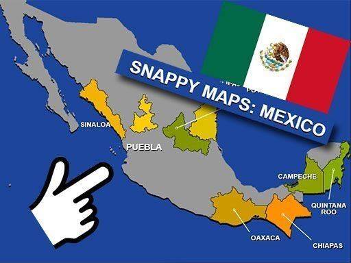
Mexican States Geography Puzzle
Reviews
This puzzle succeeds where many educational games fall short: it makes learning feel like play. The combination of flags, capitals, and population data provides multiple memory hooks for each state. The timer adds just enough pressure to motivate replay without causing frustration. Beginners can take their time, while returning players can focus on speed. The mobile-friendly design means you can practice anywhere. For anyone wanting to learn Mexican geography in a relaxed, self-paced way, this is a solid choice.
About This Game
Map-Based Learning Approach
Instead of relying on rote memorization, this puzzle encourages players to associate each Mexican state with its visual shape, location, and key facts. The blank map provides clear outlines, so the focus stays on placement rather than drawing boundaries. By dragging states into position, players build spatial awareness of Mexico's geography in a hands-on way.
Clue System for Guided Discovery
Each state entry includes its official flag, capital city, and population count. These details serve as hints that help narrow down where a state belongs. For example, recognizing a state's flag might trigger memory of its region, while knowing its population can hint at its size or urban density. This layered approach supports different learning styles.
Progress Tracking and Replay Value
A built-in timer records how long it takes to place all 32 states correctly. Players can replay as many times as they like, aiming to beat their previous best time. The absence of penalties for wrong placements encourages experimentation. Over repeated sessions, both speed and accuracy tend to improve naturally.
Accessible Design for All Devices
The interface works on desktop computers, tablets, and mobile phones through standard web browsers. No downloads or account creation are required. The drag-and-drop controls respond to touch input on mobile devices, making it easy to practice geography during short breaks or while commuting.
Practical Applications Beyond the Classroom
While useful for exam preparation, this puzzle also helps travelers planning trips to Mexico. Knowing state locations makes it easier to understand regional differences in cuisine, culture, and climate. The factual data about capitals and populations adds context that transforms abstract map learning into practical knowledge.


Comments
0 comments